COMPLETE 2-Week Grand Circle Road Trip Itinerary
Disclosure: This blog has affiliate links, and it’s how I can keep doing what I love. If you book something, I might make a commission with no added cost to you. Thanks for the support!
Thinking of doing the Grand Circle Road trip? You’ve come to the right place!
I personally drove the Grand Circle while I traveled all over the USA full-time, and it left me in awe of the natural wonders of the American Southwest.
From 13-mile days in Arches to starry nights in Capitol Reef, this road trip has become one of my all-time favorites. In this post, I’’ll be sharing the exact route I took, with honest tips, itinerary suggestions, and key lessons I learned along the way.
What you’ll learn in this post:
- A brief overview of each stop on the road trip
- How long to stay, with itineraries to best spend your time
- Free camping and the most affordable hotels
- Getting to the next destination
- Other useful tidbits like when to go, how many miles, how much it costs, and more!
Whether you’re a first-timer or a seasoned road tripper, this guide is here to help you plan an unforgettable journey through Utah and Arizona’s most iconic parks.
So, here’s my 2-Week Grand Circle Road Trip Itinerary so that you can spend less time planning and more time GOING.
Plan your Road Trip with my Favorite Resources:
– Book the best hotels: Booking.com
– Get a rental car: DiscoverCars
– Find great flight deals: CheapOAir
– Book a tour: Viator or GetYourGuide

What is the Grand Circle Road Trip?
The Grand Circle road trip is a big loop that takes you through some of America’s best national parks and scenic highways:
- Zion National Park
- Bryce Canyon
- Arches
- Capitol Reef
- Canyonlands
- Mexican Hat and Monument Valley
- The Grand Canyon
- Horseshoe Bend
Since it’s a loop, you can drive to any of these national parks and complete the circle from there. But people usually fly to Las Vegas to get started.

➡️ FYI, you can make this road trip even better by adding 3 bonus destinations to this 2 week Grand Circle road trip itinerary. It adds 2 to 3 days to the trip! I’ll go over them briefly later.
Know Before you Go
Get the America the Beautiful Pass
This pass grants you access to every single national park for a year. It costs $80 as of 2025. Since you’ll be visiting 6 national parks over 10 days on the Grand Circle road trip, it’s worth it.
You can get it online ahead of time or buy it at your first national park!
Camping, car camping, or hotels?
Are on a tight budget, or ready to spend on hotels?
I slept in my SUV every night, which made the whole road trip really cheap. I’ll actually break down exactly how much the road trip cost at the end.
If you’re planning a Grand Circle road trip, I actually made a free map with 49 free car camping spots I found and vetted through my own research.
It’s my go-to resource whenever I’m planning where to sleep for the night.
👉 Grab the map for free below – I’ll email it to you right away!
If you don’t want the map, no worries!
I’ll tell you exactly where I stayed in this guide. The map is just useful because you can star it and then all the sites will appear in your own Google Maps.
You can also use iOverlander to find paid and free camping yourself! That’s where I found all of these, and the app makes it easier to find sites with recent review, which is super important for me.
If you won’t be camping, I’ll also include the most affordable hotel options close to each stop on the Grand Circle.
Food for the 2-Week Grand Circle Road Trip
If you’ll be mostly cooking while on the road, like we did, I recommend you buy a lot of non-perishable food right at the start. This is because you’ll be driving a lot of remote roads, with no Walmart in sight. Any grocery stores you do find might be ridiculously expensive.
We made the mistake of not having any food at the Grand Canyon. As a result, we had to pay the heinous touristy prices at the general store.
Don’t be like us, and plan ahead. And when you see a good grocery store, stock up!
Now, let’s dive into the details of the 2-week Grand Circle road trip itinerary, where the drives are just as mind-blowing as the destinations!
2 Week Grand Circle Road Trip Itinerary
Kickstart Your Adventure from Las Vegas
Las Vegas is the perfect launchpad for the Grand Circle road trip.
Its location means you’re already positioned on the doorstep of some of the most extraordinary natural sights in the US.
Las Vegas is one of the most outdoorsy places in the USA, but most people just think of it as Sin City! So, rent your car (or RV), get your gear and essentials, and hit the road.
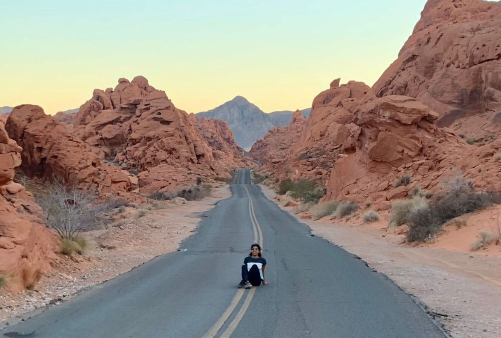
On the way to the first stop, you can go hike in Valley of Fire State Park. It’s one of the best stops on this itinerary (better than some national parks, even). Otherwise, you can do it on the back end of your road trip, since it’s 45 minutes from Las Vegas, to end with a bang!
➡️ Travel tip: Use Discover Cars to rent a car for your road trip, choose full coverage insurance, and opt for trusted companies like Hertz and Sixt. Book your car with Discover Cars here.
Stop #1: Zion National Park
We’re starting strong: the majestic Zion National Park.
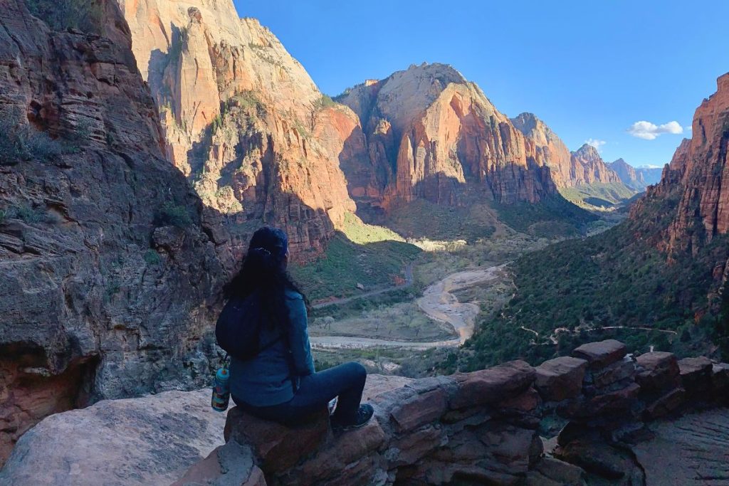
I can confidently say this was my absolute favorite national park. Its sandstone cliffs rise SO dramatically from the ground straight up from WHERE. YOU. STAND. It’s so imposing.
A brief overview of Zion
Zion is divided into 2 sections: the part you can drive and the part that’s only accessible by shuttle. The drivable part is stellar and is 11.4 miles long, while the shuttle system takes you to the more well-known areas of the park.
There’s a HUGE variety of trails, from easy walks by the river to the more challenging climbs like the iconic Angel’s Landing. You know, the adrenaline-inducing path with thousand-foot drops on both sides.
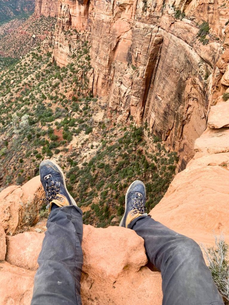
But apart from the popular hikes, Zion has so much to offer that not everyone knows about. Everything you do there will just make you happy.
We weren’t able to hike Angel’s Landing or Observation Point, but we discovered another hike and it’s now one of my all-time favorites.
Itinerary
Day 1:
- Arrive early, visit the Visitor Center, get your park stamp, and watch the park film
- Drive through the park to the East Entrance Ranger Station (amazing!)
- As you drive back, stop at the Many Pools Trailhead, hike the Canyon Overlook Trail, and maybe even get a guide into a slot canyon
- Hike to the Watchman Trail Overlook for sunset
- Eat dinner in Springdale (there’s a great Thai place) or Red Fort Cuisine Of India (a little far, but we loved it!)
Day 2:
- Arrive early for the mega hike
- Do Angel’s Landing, Observation Point, or, if you couldn’t get the permit, the hike to Scout Lookout and onward to the West Rim Trail until Cabin Spring
- Drive to Bryce Canyon (best before dark)
I go into this exact itinerary in much more detail in my 2-day Zion National Park itinerary! But if you only have 1 day in Zion National Park, you can still get to know the park pretty well.
FRee Camping Near Zion National Park
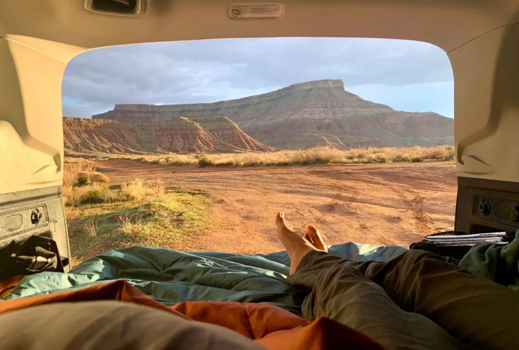
There’s good free camping on the road between Virgin and La Verkin, just behind the Hurricane Mesa Test Propulsion & CCC Historical Marker. Kolob Terrace Road, which is closer to the national park also has a few pull-outs where you can sleep. A little further than both, you can car camp in a lot off a dirt road close to the Hurrican Cliffs Trailhead Parking.
We camped for free near Zion close to Virgin. Here are our coordinates for car camping near Zion National Park: 37.207249, -113.240181.
BUDGET Hotels near Zion
📍Most Affordable: Best Western Plus Zion West
This is the hotel I would choose. It’s a simple, classic hotel in La Verkin. This Best Western isn’t the most convenient, since it’s 28 minutes from Zion, but I’m always down to drive more to save money. It’s actually really close to where I car camped. The hotel has a pool, hot tub and continental breakfast.
📍Most Affordable in Springdale: Driftwood Lodge
This comfortable lodge is beautiful, located 2 miles from Zion’s entrance. It has a pool, hot tub, and incredible views. Plus, it’s close to the shuttle stop into the national park.
Zion to Bryce Canyon National Park
The way to your next destination is straight through the scenic drive on Utah State Road 9 onwards to Bryce Canyon. From the Zion Visitor Center to Bryce Canyon Visitor Center is 85.1 miles – a quick 2-hour drive to more awesomeness.
You can stop at the Kanab Sand Caves on the way (we did), but we didn’t think it was worth it.
Stop #2: Bryce Canyon National Park
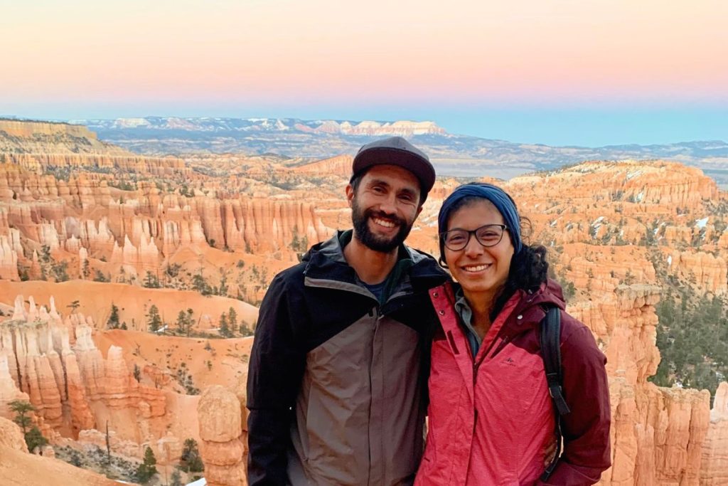
Bryce Canyon’s amphitheater of hoodoos – tall, thin spires of rock left standing from the forces of erosion – is an otherworldly scene.
Hues of orange, pink, and white paint the park’s skyline, creating a canvas of colors that change with the light of day. So poetic.
A brief overview of Bryce Canyon
Hoodoos. The park is full of them.
And the best part is, you can get up close and personal with them. My point is… you can hike into the canyon and you should!
Being in Bryce Canyon National Park is an immersive experience. You’ve got some easy hikes, like the rim trail, and tough hikes like the Fairyland Loop. But the best part just might be the spectacular overlooks, including Sunrise Point and Sunset Point, where you can see farther into the horizon than Mufasa ever did.
Itinerary
Day 3:
- Sleep in because yesterday was tough
- Arrive at the Bryce Canyon Visitor Center, get your park stamp and watch the film
- Have lunch by the rim
- Hike the Queen’s Garden – Navajo Loop trail from Sunrise Point to Sunset Point
- Enjoy the Sunset at Sunset Point
Day 4:
- Wake up early and watch the Sunrise at Sunrise Point
- Seize the day and hike the Fairyland Loop or Peak-A-Boo loop (tough but GORGEOUS)
- Chill out and eat back your calories by the rim
- Either catch another sunset or start driving to your next destination
You could just spend one day in Bryce Canyon National Park, but it’s a busy day. I find it’s worthwhile to spend 2 days here during the 2 week Grand Circle road trip itinerary.
Free Camping Near Bryce Canyon
The best area to find free camping near Bryce Canyon National Park is East Fork Road, or FR 087. It’s a road that runs parallel to the Bryce Canyon road. It has a bunch of sites along the road, so check the camping apps to browse all of them. These are about 30 minutes from the park.
Here are the coordinates for car camping where we stayed close to Bryce Canyon National Park: 37.671341, -112.202766.
BUDGET Hotels near Bryce Canyon
📍Most Unique: Bryce Canyon Escalante Glamping
This unique stay is about 25 minutes from Bryce Canyon. Yes, it’s a little far, but it makes up for it in price and uniqueness. The rooms are “luxury tents” with air conditioning (fortunately), at an affordable price for glamping.
📍Most Convenient: Bryce Canyon View Lodge
The View Lodge is more of a motel, but its location is ideal. Interestingly, it doesn’t have a particularly amazing view and it’s not much of a “budget” hotel. It does have a pool, free shuttle to the airport and is 9 minutes from Bryce Canyon.
Bryce Canyon to Capitol Reef
To get from Bryce Canyon to Capitol Reef National Park, take the more scenic route north on Utah State Road 62, through Koosharem, and then east.
The drive is perfect for listening to epic soundtracks – I recommend the Ride of the Rohirrim from Lord of the Rings. As you cruise the 119 miles between national parks, you have 2 hours and 15 minutes to feel like Theoden leading his warriors to battle.
We didn’t know this existed but wish we had stopped at Pando on the way to Capitol Reef. Pando is the world’s biggest tree – covering 106 ACRES of land!
Stop #3: Capitol Reef National Park
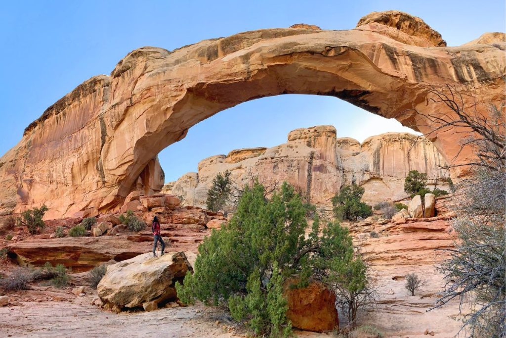
Capitol Reef National Park is a treasure trove – it has towering cliffs with orchards and hot pies right in the middle of the valley.
The fewer crowds feel so good after Zion and Bryce, and you feel like you’re IN the backcountry. I’d say you need several days to explore Capitol Reef because it’s so big, but on the Grand Circle road trip, 1 day is just perfect.
A brief overview of Capitol Reef
There are so many hikes.
And they’re the best way to get to know the park. You can do the Navajo Knobs Trail for the hardest hike to the BEST view.
But you also have to see Cassidy Arch (that’s what we did – we were too tired for the tough hike). And the Grand Wash is something you just have to see. It’s a riverbed that gets REALLY narrow while towering hundreds of feet above you.
And all that hiking means you need food. Well, thankfully, Capitol Reef is famous for its pies made of fruit grown right there in the orchards in the valley. A park ranger told us to get them early in the day because they ran out quickly. Naturally, we got there at 2 p.m. ready to eat pie, and they were out.
Itinerary
Day 5:
- Arrive at the Visitor Center early, get your stamp, and watch the park film.
- Have breakfast at the tables by the Visitor Center (amazing views)
- Get pie for dessert (or just have it for breakfast??)
- Choose between these day hikes:
- Navajo Knobs Trail – a tough hike with the best views in the park
- Cassidy Arch to Grand Wash – a long hike with more of a variety of views, but with a small logistical challenge
- Do the Scenic Drive
- Short hike to the Hickman Bridge Arch
- Eat at Stan’s Burger Shak (WE LOVED IT)
I go into this itinerary for one day in Capitol Reef in detail here!
Camping Near Capitol Reef
The best areas to find free dispersed camping near Capitol Reef National Park are close to Torrey and the road towards Lion Mountain. There are a BUNCH of options, and you can browse them all on Campendium. The best place to camp is Overlook Point Camping, but it fills up fast because its the most convenient camping close to Capitol Reef.
Here are the car camping coordinates for where we stayed close to Capitol Reef National Park: 38.165356, -111.324699.
BUDGET Hotels near Capitol Reef
📍Most Affordable: The Rim Rock Inn
This motel is 10 minutes from Capitol Reef. It has cabin vibes, since each room is its own little structure, and they’re big. The views are awesome and there’s a restaurant on site.
A drive through… Mars?
The drive from Capitol Reef National Park to the nest destination on the Grand Circle road trip, Arches National Park, is on Mars.
I’m not even kidding.
Just 37 miles from Capitol Reef is the Mars Desert Research Center, a facility that researches the surface of Mars by simulating its environment.
This drive had me on the edge of my seat as I drove – it was so weird and gorgeous. You can make stops at Goblin Valley State Park and the Bentonite Hills. It makes this 2-hour and 20-minute, 141-mile drive to Arches even better (we didn’t make the stops because we were SO tired).
Stop #4: Arches National Park
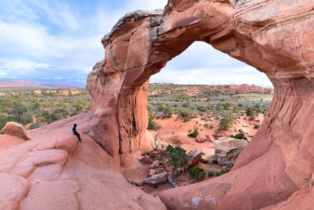
Arches National Park has over 2,000 natural sandstone arches – the most in a single place on Earth.
There are some staggeringly huge arches and other cutely small ones. They’re a testament to what makes the Grand Circle road trip so awe-inspiring: EROSION.
I don’t mean to get too sciency. You might have noticed, we always start the first day at a park by watching the video at the Visitor Center. It’s so worth it!
A brief overview of Arches
Arches is one of the national parks with the most crowds. That’s how good it is.
The drive through Arches National Park is a stunning 19 miles to the end, with side roads and parking lots for hikes or just breathtaking views.
You’ll recognize some of these views, like Delicate Arch and Double Arch. But you also just NEED to see the less-famous formations, like Landscape Arch.
The park has easy and difficult trails, so anyone can enjoy it. You get everything from hard 8-mile hikes with 10 different arches, to shorter, 2-mile hikes where you get to see 3 different arches.
Itinerary
Day 6:
- Arrive before 7 a.m. if you don’t have a permit (like us)
- Get your stamp and watch the park film at the Visitor Center
- Do the scenic drive to the end, stopping along the way
- Visit Sand Dune Arch and Broken Arch
- Drive back and explore Moab or stay until sunset and… enjoy!
Day 7:
- Arrive before 7 a.m. for a BIG day
- Do the Devils Garden Trail
- Have a solid lunch
- Visit Double Arch and The Windows
- Go to Delicate Arch and wait for night to fall
If you only have 1 day in Arches National Park during your road trip, I suggest you just do Day 7 above. You’ll get to see 15 different arches in 1 day!
Free Camping Near Arches National Park
Finding car camping locations close to Arches National Park was tough, and it’s even worse when crowded. It might just be best to sleep in Moab, which is an awesome town with great lodging options.
For free car camping near Arches National Park, the most convenient area is along Cotter Mine Road. There’s a lot right next to the highway, so it’s not ideal for noise and not great for tent camping, but this lot fills up during busy season. You can also drive in for dispersed sites (where allowed).
You can also drive towards Bride’s Canyon or to a dirt road close to the Canyonlands Field Airport. Browse all the sites on Campendium and good luck! Here are the coordinates for where we stayed: 38.679600, -109.692020.
BUDGET Hotels near Arches
Just 17 minutes from Arches’ Visitor Center, HTR Moab is a unique stay where each room is a unit. It’s glamping-style accommodation with A/C, is pet-friendly, and incredibly affordable! A great home-base for a few days in Moab.
Crowds or no crowds?
The next destination on the Grand Circle Road Trip is super close to Arches, but we turned a 37-minute drive into a 1-hour and 37-minute drive to escape the crowds. Honestly, it wasn’t ideal.
More on that… below!
Stop #5: Canyonlands National Park
A brief overview of Canyonlands
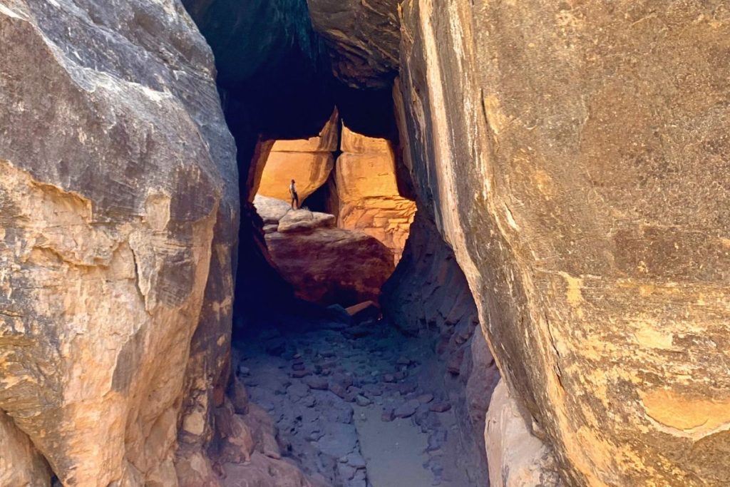
Canyonlands National Park is a gigantic expanse of wild, untouched nature. It’s divided into four districts by the Colorado and Green rivers.
The Island in the Sky is THE place for sweeping vistas from overlooks, hundreds of feet above the canyon below. The Needles district, on the other hand, is enchanting and you can explore all the needles and spires up close.
Why the Needles District?
The Island in the Sky is more crowded because of the views, and we’d had enough of crowds.
Meanwhile, the Needles District isn’t as well known, so we went there. And since the day before had been a lot of hiking at Arches, we were looking for an easy hike.
As it turned out, the 8-mile hike with (we thought) 400 ft of elevation gain actually had 1,600 feet of elevation gain. It DESTROYED us!
And the views at the Needles District just weren’t that great. We would have rather seen amazing views and hiked less. Island in the Sky would have been perfect to chill more but still enjoy the beauty of the Grand Circle.
Itinerary
Day 8 (what we did):
- Arrive at the Needles District Visitor Center, get our park stamp and watch the film
- Do the Chesler Park Loop
- Visit the Capitol Reef petroglyphs
- Have dinner at the Needles District View Area
Day 8 (what we wish we had done):
- Arrive mid-morning at the Island in the Sky Visitor Center, get our park stamp and watch the film
- Hike to Mesa Arch
- Do the White Rim Overlook hike
- Lunch somewhere beautiful
- Grand View Point Overlook
- Drive to all the other overlooks
I go into detail on both these itineraries in my Canyonlands National Park itinerary!
Free Camping Close to Canyonlands
The free camping near Canyonlands National Park is the same as it is for Arches National Park. Any free camping near Moab will do: Cotter Mine Road and the lot right next to the highway, the road to Bride’s Canyon, and other pull-outs towards the Canyonlands Field Airport.
The coordinates for where we car camped for free near Moab are: 38.679600, -109.692020.
➡️ If you’re staying in hotels, stay in the same ones as for Arches National Park (above)!
When the road is a destination
The next destination on the Grand Circle road trip is the Grand Canyon, but that’s quite a drive from Canyonlands National Park.
Thankfully, Monument Valley divides what would be a long drive perfectly in half. You’ve probably seen it in Forrest Gump, or as the standard reference of an American road trip, and it’s just 2 hours and 20 minutes, or 128 miles from Canyonlands National Park.
(This is where you can add some stops to this 2-week Grand Circle road trip and make it longer. Read on to see if you’d like to visit those 3 bonus destinations!)

Stop #6: Forrest Gump Point & Monument Valley
It’s the definition of a scenic drive in the Southwest… weird and awe-inspiring.
Driving through U.S. Route 163 is amazing, and it leads to a small crowd in the middle of the road. It’s the famous spot where Forrest Gump suddenly stops running.
Then, you get to the entrance to Monument Valley, where you can go on another scenic drive through huge sandstone monoliths. You get to see them way up close… if you have an OK clearance and good traction.
Forrest Gump Point is on a highway, so it’s free to be there, but entering Monument Valley does cost $8 per person (subject to change) – I’d say it was worth it.
This drive is seriously a treat!
Itinerary
Day 9:
- Drive to Mexican Hat for a quick stop
- Drive to Forrest Gump Point and take a bunch of pictures
- Visit Monument Valley (it has a visitor center)
- Do the scenic drive if you have OK clearance & good traction
- Keep driving to the Grand Canyon or spend the night close to Monument Valley
Free Camping Near Monument Valley
The free dispersed camping here is closer to Mexican Hat than Monument Valley. The best areas are close to Valley of the Gods, towards Goosenecks State Park and next to the San Juan River. There are lots of options, so browse them on Campendium and choose your favorite!
These are the coordinates for where we car camped close to Monument Valley and Mexican Hat: 37.2413598, -109.8167952.
BUDGET Hotels near Monument Valley
📍Most Affordable: Wetherill Inn
This affordable motel is 25 minutes away Monument Valley, on the way to the nest destination. It has a heated pool and continental breakfast. A nice, simple spot with good reviews to spend the night and be on your way!
Monument Valley to Grand Canyon
3.5 hours and 190 miles away, you’re about to witness one of the world’s most well-known spectacles of natural beauty.
You’ll be driving to the South Rim of the Grand Canyon.
Stop #7: Grand Canyon National Park
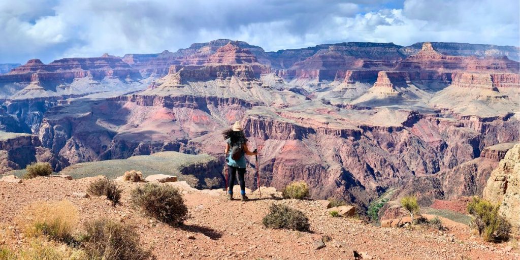
This colossal chasm, carved by the Colorado River over millions of years (again, watch the Visitor Center videos), is just inviting you to a hike.
You can explore the Grand Canyon on anything from leisurely walks along the rim to VERY tough treks down into the canyon. Those tough hikes are where you begin to understand its scale – or, well, your legs do.
Where do you even start (a brief overview)?
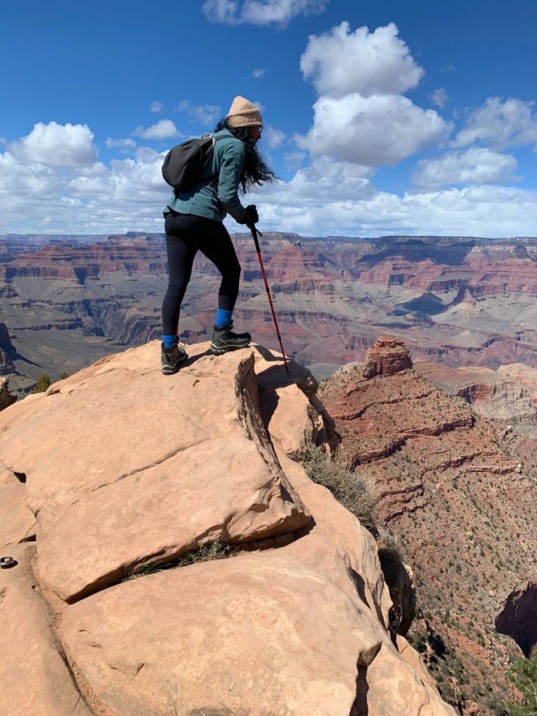
We hiked down as far as we could in a day – not quite to the river. It takes 6-8 hours of constant hiking to get it done, but we were itching to get all the way down to sleep in the canyon and then hike back up the next day. We’ll do it someday.
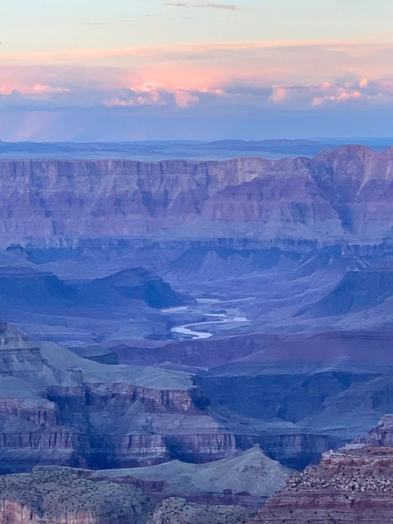
There are SO many different hikes down into the canyon, but the South Kaibab trail may just be the best, passing by Ooh Aah Point, Cedar Ridge, and Skeleton Point, for a total of 2,000 feet of elevation gain straight up during the second half of the hike (ouch).
Sunrise and sunset are the best times of day at the Grand Canyon.
Itinerary
Day 10:
- Drive to the South Rim and enjoy the views
- Visit the Visitor Center, get your park stamp, and watch the film (this was the best film out of all the national parks we visited)
- Hike the Rim Trail (easy) to the Market Plaza, Village or even Hermit’s Rest
- Ride back on a shuttle
- Watch the sunset from Grandview Point
Day 11:
- Arrive early for a parking spot and shorter shuttle lines
- Take a shuttle to Yaki Point
- Hike down and back up the South Kaibab Trail to Ooh Ahh Point, Cedar Ridge, or Skeleton Point, depending on your fitness level
- Replenish calories
- Drive towards Page, AZ
I go into this exact Grand Canyon 2-day itinerary in another post!
FRee Camping Near The Grand Canyon
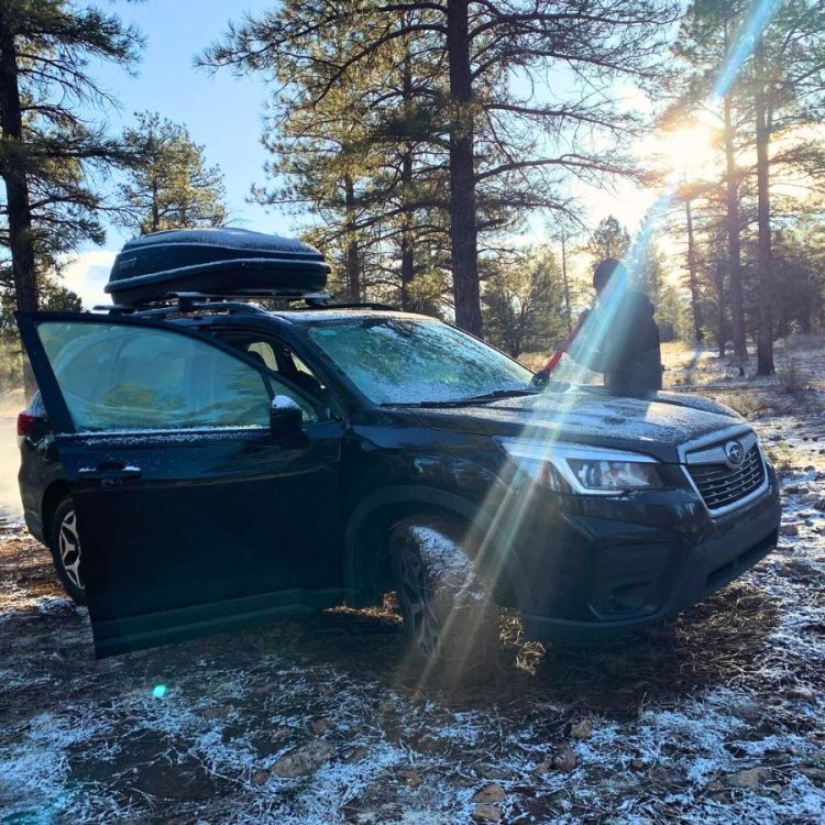
The free camping close to the Grand Canyon was awesome. There are some really convenient sites, but they do fill up quickly. There are sites in Long Jim Canyon, on a dirt road right before Tusayan and the general area of Kaibab National Forest. Check them out on Campendium and save 2 or 3 of them in case your first option is full!
Here are the coordinates for where we car camped for free near the Grand Canyon: 35.968094, -112.118462.
BUDGET Hotels near the Grand Canyon
📍Most Affordable: Yavapai Lodge
This hotel is the most affordable of all the hotels inside the park, but it’s a mid-range, not budget hotel. It’s just impossible not to spend a LOT at the Grand Canyon. This hotel super comfy, has a great restaurant and is right next to some of the most incredible views.
5 more minutes…?
As the Grand Circle road trip comes to an end, you have the option to head back to Las Vegas or add a day to the road trip. We opted to visit Horseshoe Bend.
Heading north towards Page, Arizona for 2 hours and 20 minutes, or 132 miles, is a place you’ve definitely seen in photos.
Stop #8: Horseshoe Bend
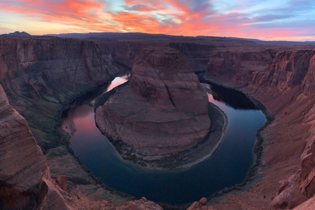
Horseshoe Bend is a low-commitment destination, and it surprised us with how worth our while it was.
It’s a nice finale to your epic adventure. You park in a lot right on U.S. Highway 89 and go on a short 20-minute hike to THE view.
This gorgeous feature, where the Colorado River curves dramatically around a sandstone cliff, is serene and awe-inspiring. Get there for sunset, and hope for a light show.
Since it’s such a low-commitment destination, it does get crowded. But I’m telling you, it’s SO worth it! Savor the last moments of your Grand Circle road trip in this place.
Itinerary
Day 12:
- Sleep in, you deserve it
- Explore Page, Arizona
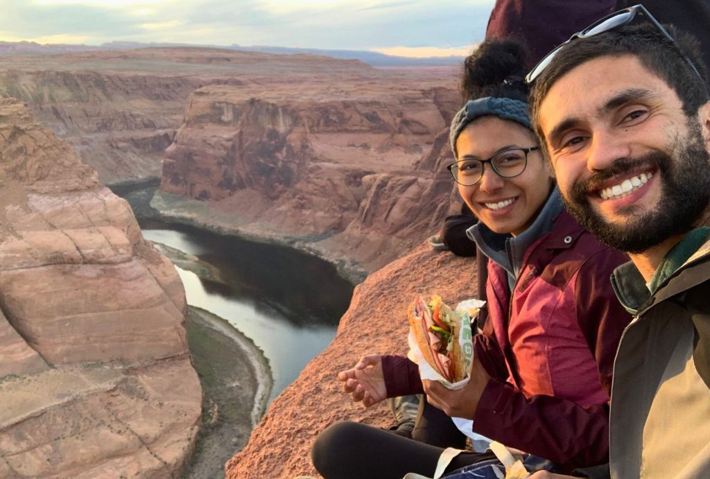
- Get to Horseshoe Bend before sunset and eat dinner with a light show (we had a footlong Subway sandwich!)
- Drive to Las Vegas the next day (4 hours and 30 minutes)
We loved Horseshoe Bend and Page, Arizona. There’s SO much more to do than we initially thought.
Here’s a guide to everything you need to know to enjoy a sunset in Horseshoe Bend!
Free Camping Near Horseshoe Bend
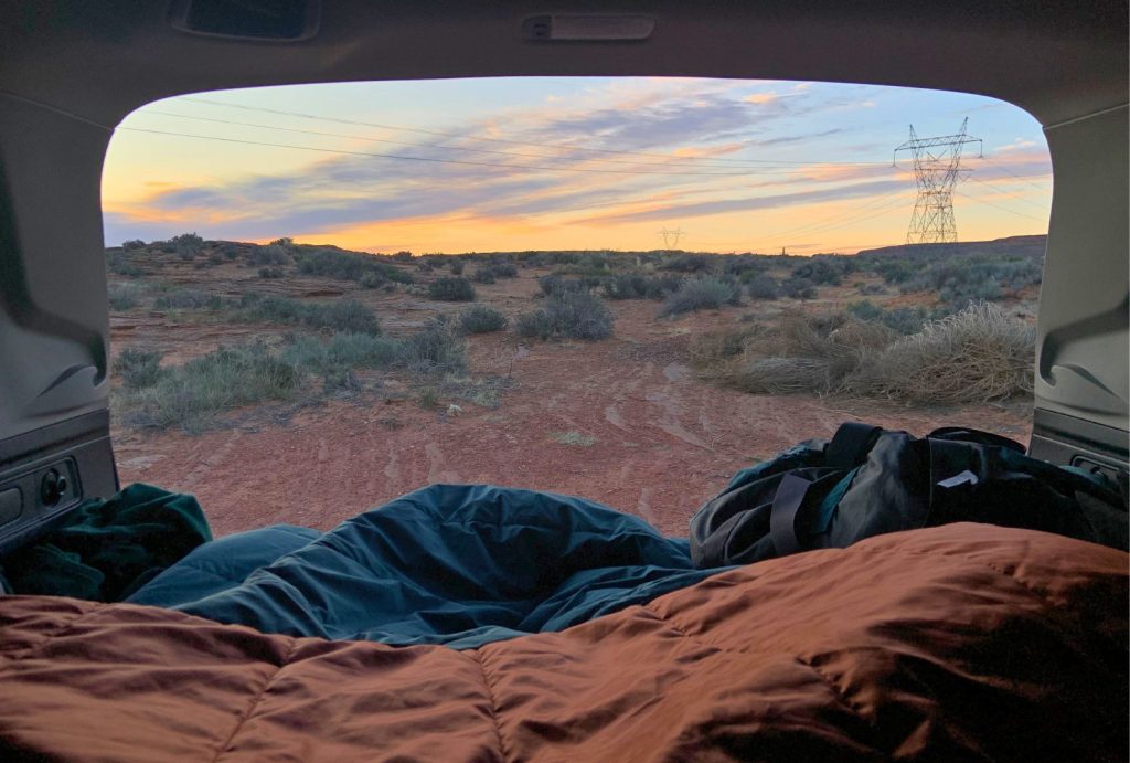
The place we car camped for free wasn’t ideal but it was cool: under telephone lines right next to Highway 89. Our spot was on the opposite side of the road of the Welcome to the City of Page sign. Highway 89 has other random pull-outs where you can sleep. And then there are other free camping areas around Lake Powell and Glen Canyon. They’re all there in Campendium for you to choose from.
We stayed under the telephone lines because it was 3 minutes from the Horseshoe Bend lot. I won’t share the coordinates for this one because it’s not an established site and we don’t want it getting over-crowded!
BUDGET Hotels near Horseshoe Bend
This simple, comfortable hotel is 9 minutes from the Horseshoe Bend parking lot. It’s modern and right in the middle of Page.
What about Days 13 and 14?
This itinerary is 2 days shy of 2 weeks!
I did this on purpose.
You need 2 free days because of how many places you’re going to visit. That way, you can spend more time someplace you love, rest more (because you’ll be doing a LOT of hiking), or explore more in between the parks.
On the other hand, it also gives you time to make the loop bigger, adding 5 hours and 45 minutes of driving. That leads us to our bonus destinations, a little further east into Colorado and the million-dollar highway.
2 Week Grand Circle Road Trip Itinerary BONUS DESTINATIONS

Colorado National Monument
Instead of heading south immediately after Arches and Canyonlands, you can keep going east into Colorado. Grand Junction is home to the Colorado National Monument.
It’s another deserty destination with gigantic cliffs. It’s perfect for spending half a day, with a super easy hike and a gorgeous scenic drive to loop around the whole park.
Black Canyon of the Gunnison
Finally, a green landscape!
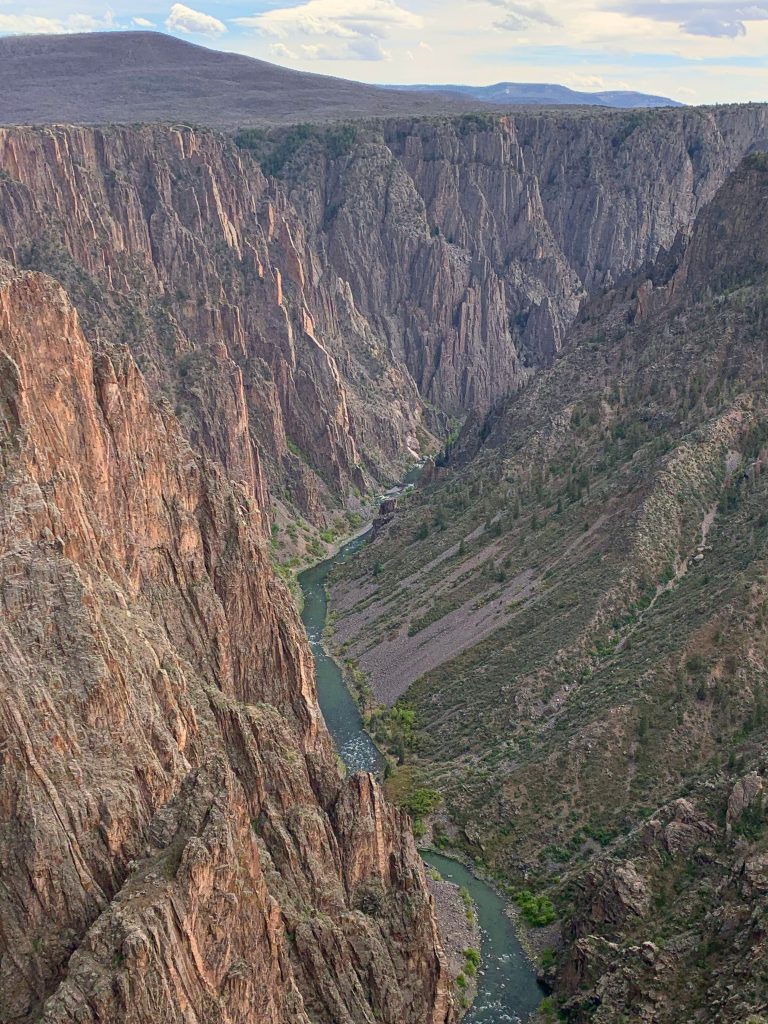
This national park welcomes you with the narrowest, deepest, steepest canyon in the USA! It’s a great national park for visiting in half to a full day because it’s not very big. Funny enough, you can only hike along the canyon’s rim because it’s just too hard to get down to the river.
The views are spectacular!
Telluride
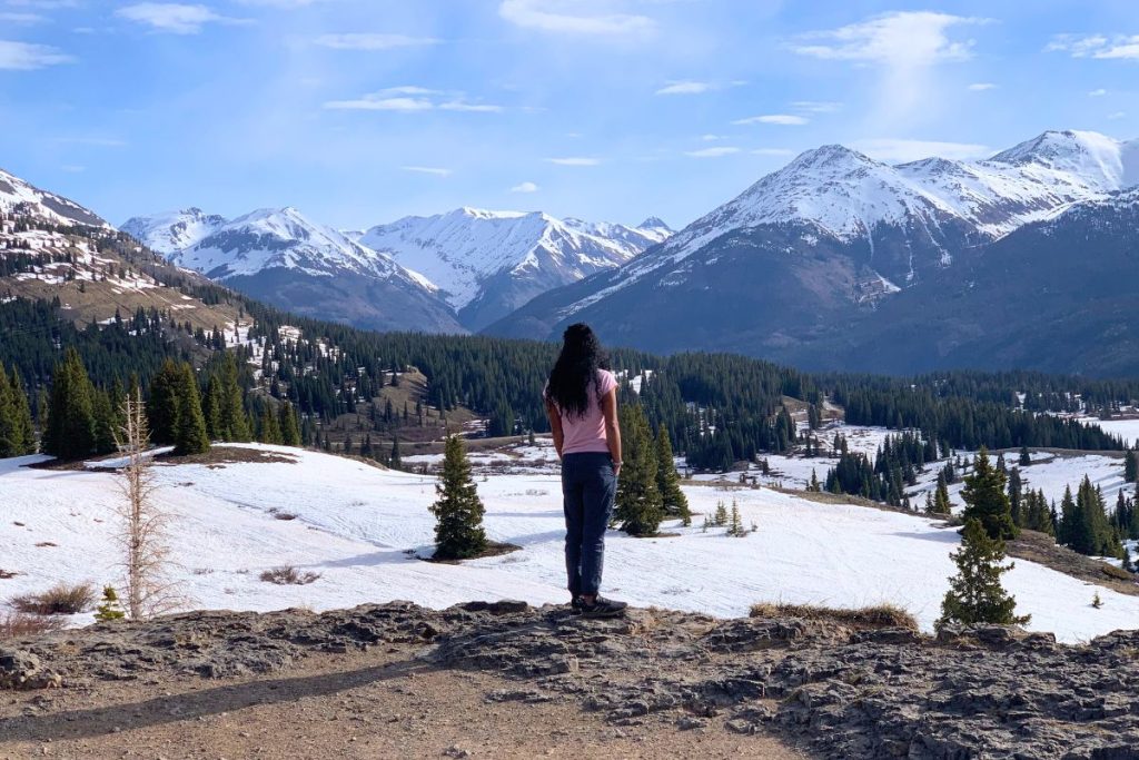
Head south to this Ski Town, which is best to visit during the summer. Go on some gorgeous hikes to waterfalls and get on the free Gondola for a great time. Take a walk through this beautiful town and just enjoy the peace of alpine Colorado.
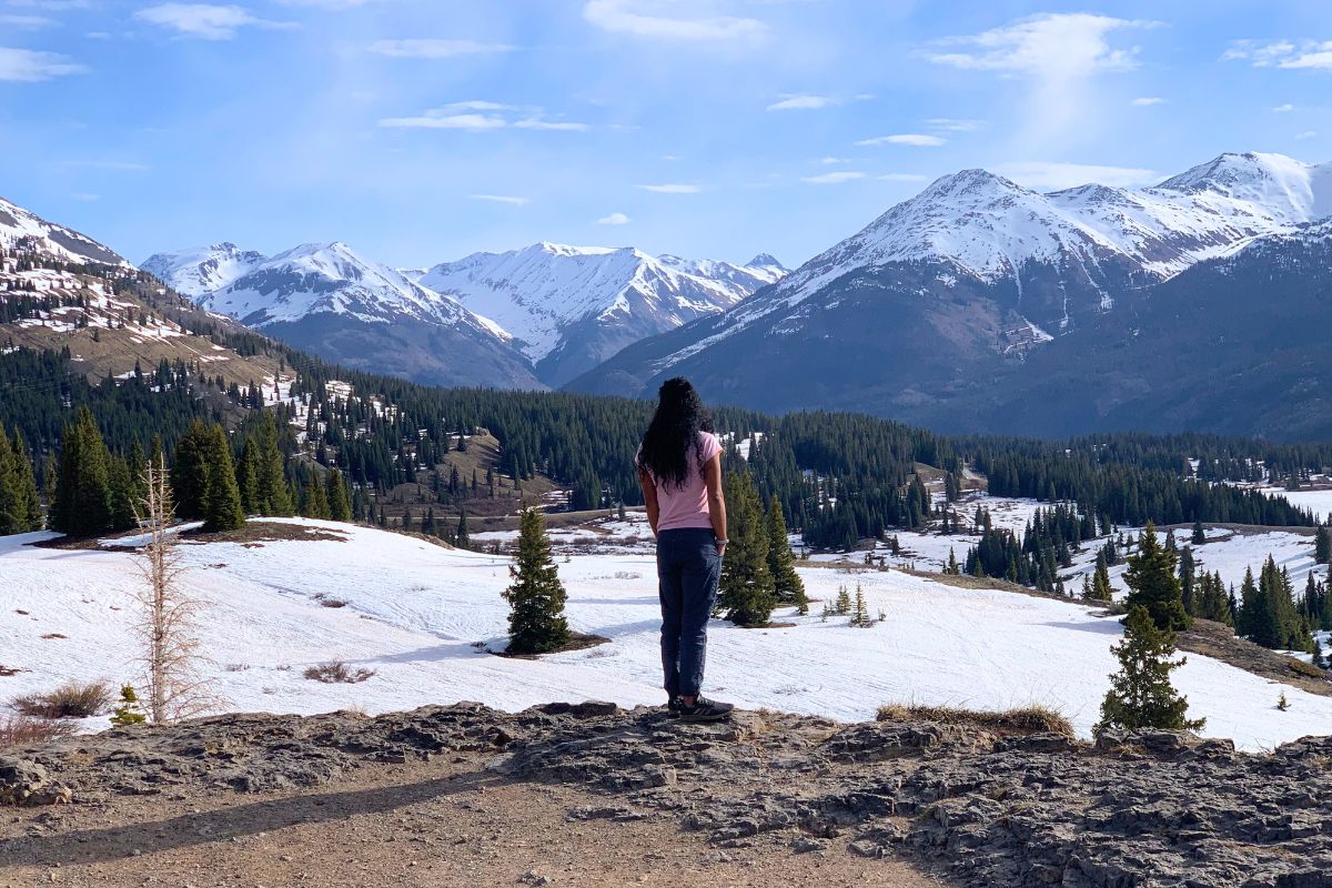
The best part of visiting Telluride is the drive after, though. There’s a reason the road between Silverton and Telluride is called the Million Dollar Highway. Of all the Grand Circle’s scenic drives, this drive was my #1.
There’s just something about jagged mountains.
The drive also takes you through beautiful towns like Ouray, the Switzerland of America, Silverton and Durango.
And that’s it for the Grand Circle Road Trip…
I hope this road trip travel guide motivated you to start planning your trip!
Frequently Asked Questions
Gas cost us about $210. Groceries and eating out during the trip cost us about $200 (we usually cooked our own food). Since we car camped the entire time, our lodging was FREE.
In total, the Grand Circle Road Trip cost us: about $500.
If you’re renting a car, it can cost $420 (small car) to $1000 (big SUV) for the entire trip.
If you stay in hotels, that’s going to be thousands of dollars.
To keep your costs down, I seriously recommend camping or car camping and cooking your food. Here’s my guide to SUV camping from my experience living in my SUV for over a year.
The spring, in March and April (we did it March 25-April 10). It can be cold but being in all these places while there’s still snow makes them even more beautiful.
Plus, less crowds.
But you can also do the Grand Circle in the summer, the most popular time, or into the fall.
The Grand Circle road trip is 1300 miles. 1700 miles with the bonus destinations.
But that’s not counting a lot of back-and-forth driving, so it’ll be a little more.
You need a minimum of 10 days for the Grand Circle road trip, and even that might be too little. It’s just a LOT of driving, so you wouldn’t get to enjoy the destinations as much as you could.
A more realistic way to do the Grand Circle road trip, is to take 2 weeks. I did it in 21 days, and I STILL felt like I missed out on a bunch of things.
The Grand Circle road trip includes 6 national parks (7 if you do the Colorado extension).
Grand Circle Road Trip map:
I’ve put together a custom Google Map to help make planning the Grand Circle road trip easier. It includes all the key stops mentioned in this post.
This interactive map is perfect for visualizing your route through 4 different states. Whether you’re hiking in Zion, catching the sunrise in Bryce, or driving through mars, it’s all pinned and ready.
👉 Open the full map in Google Maps or see it embedded below. Tap the icon on the top left to see the entire menu.
And that’s my 2 Week Grand Circle Road Trip Itinerary through some of America’s best national parks!
I first read about it on Travel & Leisure, but it was just a broad overview. That’s why I wanted to make my own detailed guide about the Grand Circle, with all my tips and experiences.
I hope you enjoy your trip as much as I did!
If you’re interested in an underrated, less crowded southwestern road trip, read about the road trip from White Sands to Carlsbad Caverns and Guadalupe National Park!
Pin this itinerary for later!